
.jpg)
.jpg)
.jpg)
.jpg)
.jpg)
.jpg)
.jpg)
.jpg)
Special Assignments
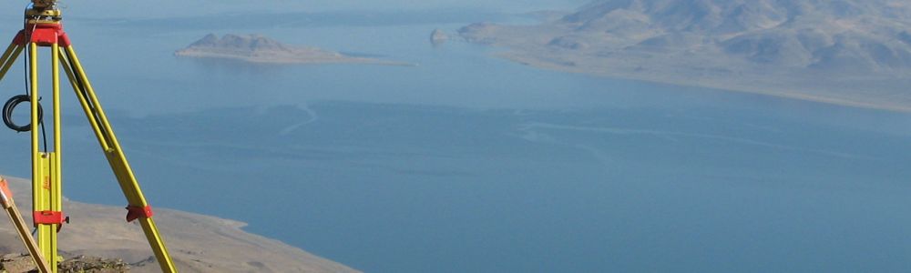
3D Laser Scanning Survey
![]()
We provide a professional 3D Laser Scanning technique as a rapid solution for surveying complex geometrical details in a wide range of civil engineering applications. CED Environmental offers a worldwide service of Laser Scanning Surveys for structures, rail networks, highways and industrial environments.
Our high definition Laser Scanning Survey offers a number of benefits over other conventional surveying technologies. Traditional surveying methods involve engineers taking manual field measurements and collecting information from existing drawings. Such time consuming activities can sometimes expose projects to delays and financial risks.
Our 3D laser scanning technology on the other hand, offers a very cost-effective solution for producing accurate engineering drawings by capturing data in various technical environments. We can produce the required information in CAD format or plan and cross sections of structures.
Laser scanning process involves capturing high resolution 3-dimensional point data to analyse details and shapes of objects by shining a laser line over a surface The scanner uses a rotation control with mirror and an internal digital camera mounted in the laser scanner to record accurate 3D points in space. The scanner travels 360 degrees around its axis in horizontal increments to capture successive lines of scan points. The scans are aligned and any noise is cleaned from the data.
The resultant data represents an image of the site with accurate data points that can be measured to form the basis of design evaluation and construction. By utilizing GPS, every data point can represent a real-world coordinate and elevation. The data can also be linked to the site grid and matched with topographical survey plans and sections.
Plan views, topography, profiles and cross sections can be extracted from scanner data with high resolution detail. We can produce 2D data in plan and cross section view from the data as well as 3D CAD Models for use in various applications. If required, an animated movie format can also be created to help convey complex project ideas. For race tracks and other high profile sites, scanning and modelling will become visualization tools for proposals and presentations.
The 3D Laser Scanning data can provide pre-construction site information for a range of civil engineering projects including buildings, roadways, and industrial facilities. Buildings, bridges and other structures can be monitored for motion and settlement with greater accuracy than conventional methods. Highways and race tracks can be scanned in high definition to minimize closure time and analyze surface deterioration or subsidence. Using designs from existing condition surveys, specific areas can be identified and repaired.
Scans of existing structures and facilities can enable design for expansion or process improvements. For quality control, assurance and minimizing project delays, scans can be made throughout construction stages. Building surfaces can be scanned during construction so that any deviations from design can be addressed before continuing the works.
For architectural applications, a highly accurate floor plans and sections can be created using our 3D Laser Scanning technology. Various architectural details can be scanned for elevation views or context information for existing and adjacent buildings. Scan data can also be used for widening and improvement projects including existing bridge condition surveys to evaluate priority for maintenance and replacement.
We also offer Standard Topographic Surveys to produce maps showing topographic features of a site including buildings, utility locations, drainage patterns and other natural features. We carry out the survey to gather information about overall site grade and elevations that could affect engineering design on the site. This information can be used to determine various construction and development purposes including site improvements. The survey is prepared by gathering horizontal and vertical information, and topographic contours can be shown at any specified intervals.
![]()